Strong Earthquake and Tsunami Threat Near PNG
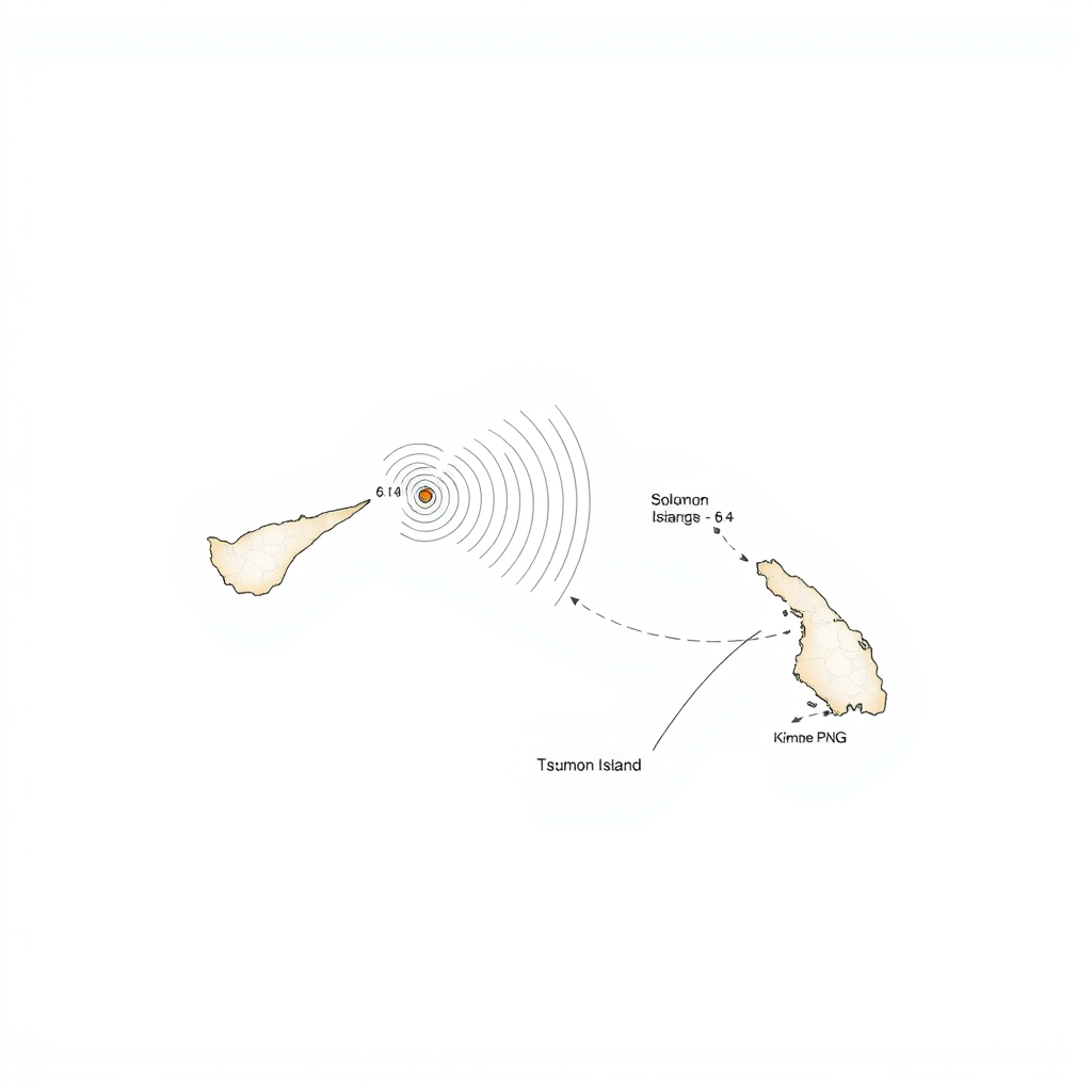
A significant 6.9 magnitude earthquake struck off the coast of Papua New Guinea’s New Britain Island Saturday morning, according to the United States Geological Survey (USGS). The quake, registering as shallow with a depth of just 10 kilometers (6 miles), prompted tsunami warnings and forecasts of waves potentially reaching one to three metres in height, issued by the US Pacific Tsunami Warning Center.
Neighboring Solomon Islands were also placed under advisory, anticipating smaller waves of less than 0.3 metres. The earthquake occurred at 6:04 am local time (2004 GMT), with its epicenter located approximately 194 kilometers (120 miles) southeast of Kimbe, the nearest major town.
A subsequent, smaller earthquake with a preliminary magnitude of 5.3 was recorded in the same area roughly 30 minutes later, according to the USGS.
Papua New Guinea is situated within the seismically active “Ring of Fire,” a region known for intense tectonic activity stretching across Southeast Asia and the Pacific basin. While earthquakes are frequent in the country, widespread damage is often limited due to the sparse population density. However, the potential for destructive landslides remains a serious concern following such events. This latest quake serves as a stark reminder of the geological forces at play in the region and the importance of continued monitoring and preparedness. The relatively shallow depth of the initial quake increases the risk of localized impacts, even if a major, widespread disaster is avoided.